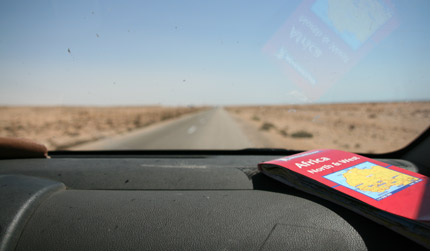
Route
For navigation we use mainly the three Michelin maps of Africa, combined with a Garmin60 GPS system. This combination has worked almost flawless the first three months and is in our opinion the best way to avoid us from getting lost. The Garmin60 has a basic road map of Africa, but because we stay mostly on the main roads, the Garmin was an excellent way to check whether we took the right road and gave us an indication how many kilometres we had to travel. To determine the route we mainly used the Michelin maps.
We also purchased a program for on the computer, Fugawi Navigation, which offered the possibility to scan in any kind of map and calibrate it to a basic map of Africa. A GPS receiver plugged into the USB port pointed out the location where we were, offering a very wide variety of options for navigation. However the system didn’t work flawless and especially the calibration of the maps was inaccurate, the main reason why we hardly ever worked with they system.
Because there is hardly any tourism in large areas of West Africa, for our daily planning we frequently consulted the Lonely Planet and a German Overland guide “Durch Afrika”. They provided us with information concerning the availability of hotels or any other place to sleep in the villages we passed. The German guide also provided information concerning the condition of the roads, although this was not always up to date. For the latest status on the security situation we frequently looked at the ministry of foreign affairs website.
Navigation
- GPS system: Garmin 60 map and car charger
- Michelin road maps 741, 745 and 746
- Fugawi Navigation
Information
- Lonely Planet “Africa on a shoestring”
- Both editions of “Durch Afrika”